A few days ago Google added Boston to their list of Street View cities. Google Street View basically lets you get on the ground and walk around as if you were there, only the pictures aren't live. How does this work? A car drives around with a camera mounted on top taking pictures of the street and the area around it. Those pictures, and the location data, are uploaded to Google and turned into the Street View maps you find find on Google Maps.
Here is where I work in Central Square, Cambridge (on the 8th floor of the tall building):
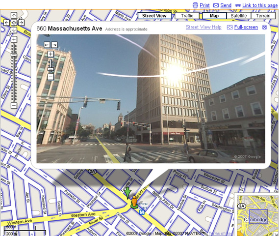
From the looks of the empty streets, they must have been driving around on a Sunday morning. When you click on the Street View button at the top of a Google map, all the blue area's are covered by street view. It's really cool to explore entire neighborhoods without even going there. This is an invaluable tool if you're moving to a new apartment and you want to easily check out the neighborhood before you sign the lease!!